Planning conditions
The land property 217/2 within geodetic zone 14 in Malbork is not covered by the local spatial development plan.
Pursuant to Resolution No. XXXIII/340/2017, the Malbork City Council of June 29, 2017 on the adoption of the study of conditions and directions of spatial development determined the direction as a supplement to the existing buildings.
Offer description
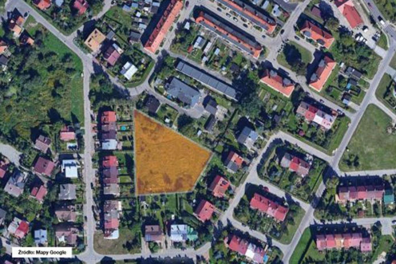
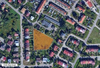
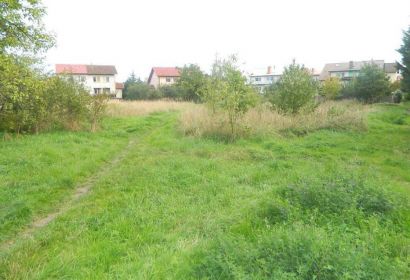
Undeveloped land property, which constitutes the right of perpetual usufruct of a plot of land with an area of 2,981 m2, located in Malbork at ul. Władysława Łokietka 20B.
The plot has a relatively regular shape, close to a trapezoid, and a relatively flat terrain configuration. It is an unfenced area with greenery.
The plot does not have an appropriate width of access to a public road - consistent with the minimum width requirements specified in the Construction Law (which prevents development).
According to the information obtained from the Department of Municipal Affairs and Environmental Protection of the Municipal Office in Malbork, the plot used for communication, due to its dimensions, 2.5 m wide, and development (unpaved path), is intended only for pedestrian traffic.
Near:
- single-family housing development
- 2 km - the center of Malbork